GeoWGS84 Corp Acquires LizardTech Suite of Products, Including GeoExpress and the MrSID Format. Click here for details
TripleSat Satellite Imagery
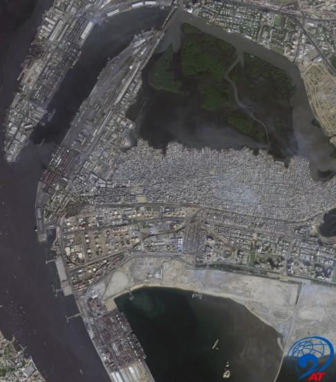
21AT has a group of three advanced Earth observation satellites (TripleSat-1, 2 and 3) that offer daily imaging capabilities worldwide. They have a vast collection of data dating back to 2016. Collaborating with 21AT, GeoWGS84 offers cost-effective options for accessing imagery to cater to various needs.


Triplesat Specifications | |
Orbit | SSO (Sun-synchronous Orbit) Altitude 651 km LTAN 10:30 local time Push broom imager Inclination: 98.1° |
Launch Date | July 10, 2015, 16:28 UTC |
Spectrum bands (in nm) | Panchromatic –450 to 650 Blue –440 to 510 Green –510 to 590 Red –600 to 670 NIR –760 to 910 |
Resolution GSD | 0.8m panchromatic 2m multispectral at nadir |
Accuracy (CE90) | < 20m |
Dynamic range | 10 bits |
Swath width | 23 km (at Nadir) |
Revisit | daily (at 40°N) |
