GeoWGS84 Corp Acquires LizardTech Suite of Products, Including GeoExpress and the MrSID Format. Click here for details

Samples
Discover GeoWGS84's geospatial technology solutions that will assist professionals in the efficient management, processing, visualization, and analysis of geospatial data. A wide variety of GIS and mapping solutions that work with satellite imagery, aerial photos, drone data, LiDAR, raster/vector datasets, 3D models, and other geospatial data is available in our portfolio.
The solutions offered by GeoWGS84 include advanced GIS software, geospatial data processing solutions, LiDAR and drone data solutions, image conversion and compression software, 3D visualization and modeling technologies, and cloud SaaS platforms. The product portfolio comprises both proprietary and third-party technology solutions that allow organizations to choose the most reliable solution according to their mapping, surveying, remote sensing, or spatial analysis needs.
If you need assistance with drone mapping, aerial surveys, satellite imagery, LiDAR processing, GIS analysis, terrain modeling, 3D visualization, geospatial data management, etc., our geospatial technologies will provide a convenient solution to your problem. Geospatial technologies may be used in such industries as surveying and mapping, construction, infrastructure, mining, agriculture, environmental monitoring, utilities, engineering, government, and many others.
Continuous updates to the GeoWGS84 product line will ensure that the customer can utilize the latest GIS and geospatial innovations. The objective of GeoWGS84 is to democratize access to the most recent technological advances while assisting customers in choosing the proper GIS software to meet project demands.
Data Conversion & Compression, LiDAR Data Processing & Extraction, Drone Data Analysis, GIS Mapping, and 3D Modeling are some of the applications provided by GeoWGS84 to make sense of your geospatial data.
Explore our geospatial software and solutions to find tools that will improve your workflow processes in areas such as mapping, surveying, remote sensing, and GIS. If you require any help with the selection of a product or cannot find what you are looking for, please contact our GeoWGS84 specialists.
Inspection Samples


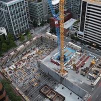
Drone Imagery Samples


Aerial Imagery Samples


DEM/LiDAR Samples


3D Model Samples

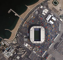
Satellite Imagery Samples