top of page

Geospatial Videos

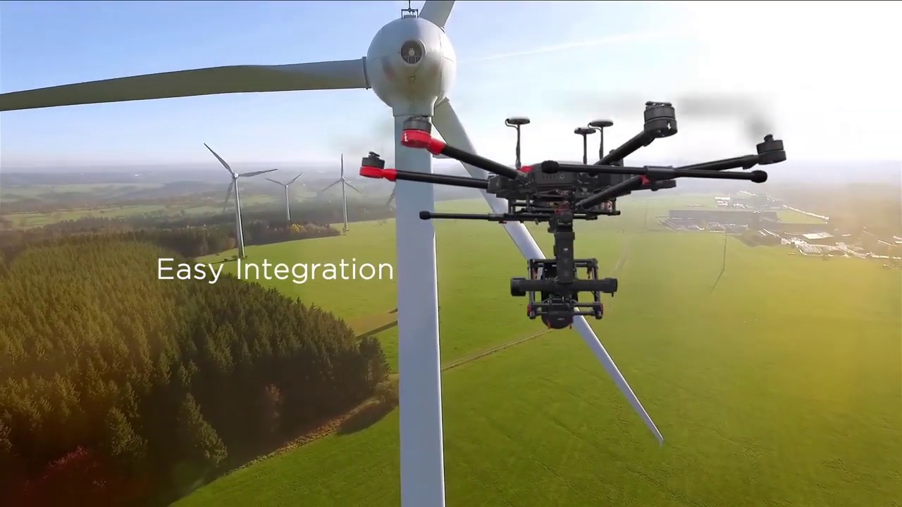
These videos are related to GIS, particularly the drone industry, which may be of interest. Our services include displaying drone demonstrations and product reviews, collecting drone imagery and LiDAR data, generating digital ortho-imagery & mosaics, providing corridor mapping services, extracting Digital Terrain Models (DTM), creating Digital Surface Models (DSM), producing contours, extracting planimetry information, undertaking volumetric calculations and 3D modeling as well as monitoring construction progress. In addition, our expertise encompasses inspections such as solar panels, wind turbines, and power lines plus mining operations with pipeline inspection/monitoring along with crop monitoring in agriculture using drones in accordance with safety regulations.

Extensis GeoExpress:  A Quick Tutorial
04:59
GeoWGS84 Solutions

Extensis GeoExpress: A Quick Tutorial

As a trusted reseller of Extensis' geospatial solutions, we are excited to share with you this quick tutorial on GeoExpress. GeoExpress enables geospatial professionals to compress georeferenced imagery in MrSID format, JPG2000, GeoTIFF lossless and NITF formats. The GeoExpress compression allows users to shrink file sizes without sacrificing image quality or spatial accuracies. GeoExpress also provides additional editing capabilities when compressing geospatial imagery. You are able to crop your data, run basic contrast and color balancing, mosaic tiled data into one composite mosaic, reproject and more. Reduce File Size, Maintain Image Quality Maximize space, optimize usage, and make it easier to distribute data by compressing image files and geospatial data to as much 5% of their original size or cutting a file size in half — all while maintaining visual image fidelity. Images can routinely be compressed 20:1 of original size with no image quality loss. GeoExpress enables raster compression and LiDAR compression, converting large datasets to MrSID, JPEG 2000, or LAZ formats. Compressed images are easier to store, access, deliver and share. Their small file size makes them accessible even on mobile devices, downloading data is easier than ever Customize Your GIS Imagery GeoExpress provides a variety of editing tools that allow you to create the exact image you need. You can: Crop, color balance, reproject (even to custom projections), and more. Combine multiple images of different resolutions and projections into seamless mosaic datasets. Create custom compressed image tiles of your datasets. Create MrSID files using your existing GIS imagery and datasets. Export only selected sections of imagery you want, at the exact size and resolution you need, cropping to coordinates, shape files, kml files or manually draw cropping rectangles. Use alpha bands to add true transparency to your imagery that have non rectangular borders. For more details, please visit https://www.geowgs84.com/software/geoexpress Integrate compressed imagery datasets with a variety of GIS applications. Industry-standard MrSID format integrates seamlessly with most GIS applications. Process, classify, and interpret your imagery without compatibility concerns. GeoExpress compressed data can be used in nearly all geospatial applications, including ArcGIS, Global Mapper, QGIS, Autodesk, ERDAS, ENVI, SOCET GXP, and Microstation.