GeoWGS84 Corp Acquires LizardTech Suite of Products, Including GeoExpress and the MrSID Format. Click here for details
Raster
A raster image is a type of digital image composed of a grid of tiny units called pixels, arranged in rows and columns. Each pixel contains specific color and brightness information, and when viewed together, these pixels create a complete picture. Because the image is pixel-based, its quality depends on resolution—the total number of pixels it contains. Common raster formats include JPEG, PNG, GIF, and BMP.
Raster images are especially well-suited for photographs and complex visuals because they can represent smooth color gradients, subtle shading, and detailed textures. However, since they rely on fixed pixel grids, enlarging a raster image too much can cause it to appear blurry or pixelated. This makes them less ideal for designs that require frequent resizing, compared to vector graphics.
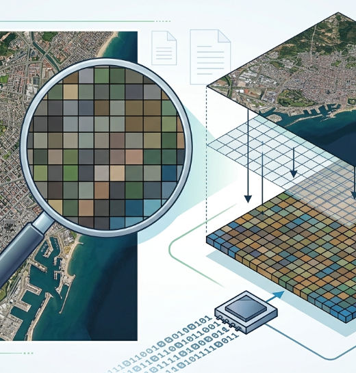
The quality and resolution of a raster image are determined by the number of pixels it contains. Each raster image is made up of a fixed grid of tiny colored squares (pixels), which together form the complete picture. When the image is viewed at its original size, these pixels blend smoothly, creating a clear and detailed visual. However, if a raster image is enlarged beyond its native resolution, the pixels begin to stretch and become visible to the naked eye. This results in a loss of sharpness, making the image appear blurry, blocky, or pixelated.
Because raster images depend on resolution, they are not ideal for unlimited scaling without quality loss. Despite this limitation, they are widely used where rich detail and realistic color representation are important. Common applications include digital photography, web graphics, social media images, and image editing work, where complex shading, textures, and color variations need to be accurately displayed.
For more information or any questions regarding our services, please don't hesitate to contact us at
Email: info@geowgs84.com
USA (HQ): (720) 702–4849
India: 9009471866 - Jay Sharma
Canada: (519) 590 9999
Mexico: 55 5941 3755
UK & Spain: +44 12358 56710