How MapInfo Pro Leverages AI for Smarter Geospatial Analysis.
- Howard Krinitzsky

- Feb 8, 2025
- 2 min read
MapInfo Pro lacks inherent AI features, but it can utilize AI via different integrations, plugins, and scripting. Here's how AI can be incorporated into MapInfo Pro:
AI-Powered Data Analysis
Machine Learning with Python: MapInfo Pro supports Python scripting, allowing integration with AI/ML libraries like Scikit-learn, TensorFlow, and PyTorch for predictive modeling and pattern recognition.
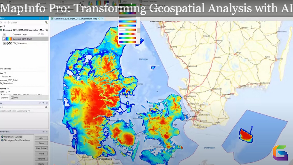
Geospatial AI (GeoAI): AI models possess the capability to analyze spatial data for applications including land use classification, anomaly detection, and predictive analytics.
Image Recognition & Processing
Satellite & Aerial Imagery Analysis: Integrating AI-driven tools such as Google Earth Engine allows for Deep Learning-based object detection to be utilized in land cover classification, feature extraction, and urban planning.
Integration with Cloud AI Services: Connect MapInfo Pro with platforms like Microsoft Azure AI, Google AI, or AWS SageMaker for image processing and spatial data insights.
Automation & Smart Mapping
AI-Assisted Data Cleansing: AI algorithms can streamline geocoding, extract features, and fix data errors automatically.
Predictive Heatmaps & Spatial Trends: AI can help analyze movement patterns, detect hotspots, and predict future trends using historical spatial data.
Natural Language Processing (NLP) & AI Chatbots
MapInfo Pro can incorporate AI-driven chatbots or NLP tools to facilitate voice-based or text-based queries for spatial analysis, eliminating the need for complex queries.
Advanced GIS & AI Interoperability
Using AI Models in GIS Platforms: AI models developed in Python, R, or cloud-based platforms can be integrated with MapInfo Pro using APIs or database connections.
Esri & QGIS AI Integration: Data processed with AI in platforms like ArcGIS or QGIS can be imported into MapInfo Pro for further spatial analysis.
Sample MapBasic script to interact with external Python Object Detection Model
Option Explicit ' Define file paths Dim sImagePath As String Dim sPythonScript As String Dim sOutputCSV As String sImagePath = "C:\MapInfo\input_image.jpg" ' Image to be processed sPythonScript = "C:\MapInfo\detect_objects.py" ' Python script location sOutputCSV = "C:\MapInfo\detected_objects.csv" ' Output from Python ' Export raster layer (if needed) Run Command "Export Raster """ + sImagePath + """" ' Run the Python script using ShellExecute Declare Function ShellExecuteA Lib "shell32.dll" _ (ByVal hwnd As Integer, ByVal lpOperation As String, _ ByVal lpFile As String, ByVal lpParameters As String, _ ByVal lpDirectory As String, ByVal nShowCmd As Integer) As Integer Dim sCommand As String sCommand = "python """ + sPythonScript + """ """ + sImagePath + """ """ + sOutputCSV + """" Call ShellExecuteA(0, "open", "cmd.exe", "/c " + sCommand, "", 1) ' Wait for Python script execution (optional: add a delay) Pause 5 ' Wait for 5 seconds ' Import CSV results as a point layer in MapInfo Dim sTableName As String sTableName = "Detected_Objects" ' Check if table exists, then drop it If TableInfo(1, TAB_INFO_NAME) = sTableName Then Close Table sTableName Kill File sTableName + ".TAB" End If ' Import detected objects from CSV Open Table sOutputCSV As sTableName Commit Table sTableName Map From sTableName |
Please reach out to us if you want to apply a particular AI use case in MapInfo Pro.
Email: info@geowgs84.com
USA (HQ): (720) 702–4849
India: 98260-76466 - Pradeep Shrivastava
Canada: (519) 590 9999
Mexico: 55 5941 3755
UK & Spain: +44 12358 56710


Comments