Google Earth Vs Google Earth Pro
- Anvita Shrivastava

- Jun 11, 2025
- 2 min read
Google Earth has revolutionized how we explore our planet. With breath-taking satellite imagery and interactive 3D maps, it has become a favourite tool for students, travellers, researchers, and urban planners. However, when searching for Google Earth, you might encounter two versions: Google Earth and Google Earth Pro. So, what distinguishes these two options?
In this blog post, we will outline the features, capabilities, and use cases of both versions to help you determine which one best meets your needs.
What Is Google Earth?
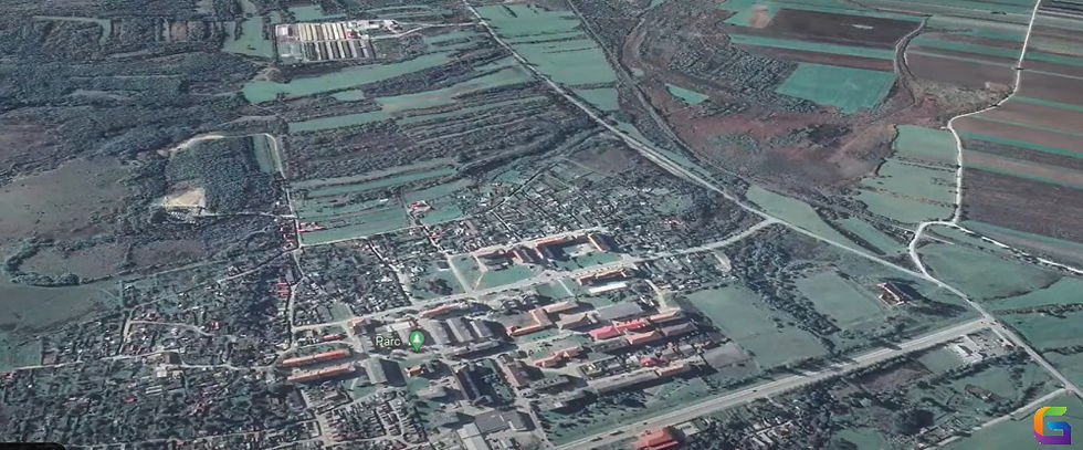
Using satellite photos, aerial photography, and GIS data, users can explore a three-dimensional picture of Earth with Google Earth, a free web program. It is very accessible because it can be used as a mobile app or directly in your browser.
Key Features:
An interactive 3D globe view.
Integration of Street View
Guided tours on Voyager
Images from history (limited)
Simple link-based sharing
Ideal For:
Infrequent Users
Teachers and students
Adventurers
A brief visual investigation

What Is Google Earth Pro?
Created for professionals in the fields of urban planning, real estate, engineering, and research, Google Earth Pro is a desktop program available for Windows, Mac, and Linux. Google Earth Pro was once a commercial program, but it is now totally free.
Key Features:
High-resolution picture storage.
sophisticated measurement instruments (radius, area, and polygon)
GIS data import and export (CSV, KML, SHP files)
Spreadsheet import and batch geocoding
Filmmaker (video tours)
Complete access to historical imagery
Ideal For:
Professionals in GIS
Planners of cities
Agents for real estate
Scholars and researchers
Google Earth vs Google Earth Pro: Feature Comparison
Feature | Google Earth | Google Earth Pro |
Platform | Web, mobile | Desktop (Windows/Mac) |
Cost | Free | Free |
3D Imagery | Yes | Yes |
Historical Imagery | Limited | Full archive |
Advanced Measurement Tools | No | Yes |
GIS Data Import (SHP, KML, CSV) | No | Yes |
Print High-Resolution Images | No | Yes |
Movie Creation Tool | No | Yes |
Batch Geocoding | No | Yes |
Which One Is Best to Use?
Choose Google Earth if:
If you're looking for a simple and fast way to explore the world.
You wish to use your browser or phone to access it.
Advanced analytical and GIS skills are not required.
Choose Google Earth Pro if:
You need powerful tools for measurement, mapping, or data analysis.
You wish to produce unique video tours or save excellent photos.
Your line of work entails environmental study, planning, or geospatial data.
Although they have different purposes, Google Earth and Google Earth Pro both provide amazing methods to explore our globe. While Google Earth Pro offers extensive functionality for experts and more experienced users, Google Earth is ideal for casual usage.
Regardless of the version you select, you will have a greater understanding of Earth's history, geography, and changing landscapes at your fingertips.
If you want to learn more about Google Earth, please feel free to contact us.
Email: info@geowgs84.com
USA (HQ): (720) 702–4849
India: 98260-76466 - Pradeep Shrivastava
Canada: (519) 590 9999
Mexico: 55 5941 3755
UK & Spain: +44 12358 56710


Comments