Maxar Technologies Satellite Imagery
- utkalsharma
- Jul 24, 2023
- 2 min read
Updated: Jul 21, 2025
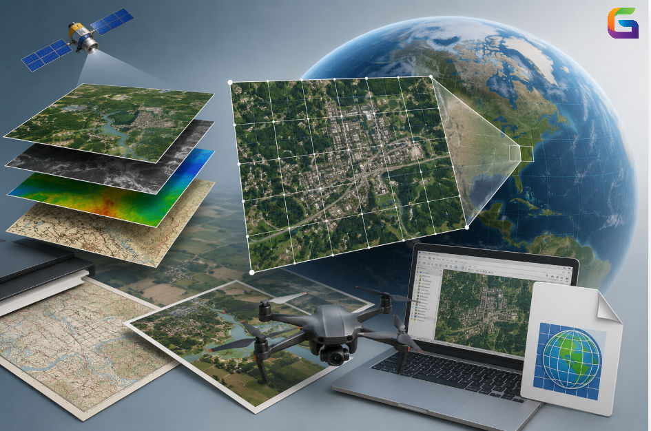
As of July 2023, Maxar Technologies is a leading Earth observation satellite imagery and geospatial solutions provider. Maxar operates a constellation of high-resolution commercial satellites that are used for various applications, including mapping, urban planning, agriculture, disaster response, and defense.
Some of the notable Maxar satellites in operation or launched include:
WorldView-1 Satellite: Launched in 2007, it is capable of capturing high-resolution images with a ground resolution of approximately 50 centimeters.

WorldView-2 Satellite: Launched in 2009, it provides high-resolution imagery with a ground resolution of around 46 centimeters. It also has multispectral capabilities.

WorldView-3 Satellite: Launched in 2014, it offers even higher-resolution imagery with a ground resolution of about 31 centimeters. It has eight multispectral bands, enabling advanced analytics.

WorldView-4 Satellite: Launched in 2016, it is similar to WorldView-3, providing high-resolution imagery and multispectral capabilities. The WorldView-4 is no longer operational.

GeoEye-1 Satellite: Launched in 2008, it is a collaboration between GeoEye (now part of Maxar) and the U.S. National Geospatial-Intelligence Agency (NGA). It offers high-resolution imagery with a ground resolution of about 41 centimeters.

QuickBird Satellite: QuickBird was launched on October 18, 2001. It offered very high-resolution imagery, with a ground resolution of approximately 61 centimeters in panchromatic mode (black and white) and 2.44 meters in multispectral mode (color). The QuickBird satellite had reached the end of its operational life and is no longer operational.

IKONOS Satellite: Launched in 1999, it was one of the first high-resolution commercial satellites, providing imagery with a ground resolution of about 80 centimeters. The IKONOS satellite had reached the end of its operational life and is no longer operational.

Please note that developments may have occurred after the update on this blog, and I recommend visiting Maxar Technologies' official website or other reliable sources for the most up-to-date information about the company, its offerings, and its ongoing projects.
For more information about Maxar Technologies Satellite imagery, please feel free to reach us at:
Email: info@geowgs84.com
USA (HQ): (720) 702–4849
India: 98260-76466 - Pradeep Shrivastava
Canada: (519) 590 9999
Mexico: 55 5941 3755
UK & Spain: +44 12358 56710


Note: Unfortunately, the control moment gyros of WorldView-4 failed in January 2019 causing the satellite to become unusable. These gyros are essential for stabilizing the satellite and precisely directing its imaging sensor. Despite attempts to fix the issue, the functionality of the satellite could not be restored.