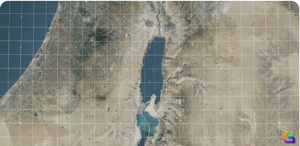
What is Geographical Information Systems (GIS)
- Anvita Shrivastava

- May 20, 2025
- 3 min read
In today's data-driven world, Geographic Information Systems (GIS) are crucial for understanding and interacting with our physical environment. But what is GIS, and why is it so significant in the digital age?
What is GIS?
Geographical Information Systems (GIS) is a framework for gathering, managing, and analysing spatial and geographic data. It integrates many types of data and uses location intelligence to understand patterns, relationships, and trends.
At its core, GIS connects data with geography, enabling users to visualize data in the form of maps, 3D scenes, and dashboards. This powerful tool supports decision-making in sectors like urban planning, environmental science, public health, transportation, and more.

Key Components of GIS
A GIS system is composed of several essential components:
Hardware: Computers, GPS devices, and servers that run GIS software and store data.
Software: GIS applications like Esri ArcGIS, QGIS, and Google Earth Engine that process and analyse spatial data.
Data: Geographic data (maps, satellite imagery, GPS coordinates) and attribute data (demographic statistics, environmental readings).
People: Skilled professionals who analyze and interpret data using GIS tools.
Methods: Standardized procedures and models for collecting, analysing, and displaying geographic data.
How Does GIS Work?
GIS works by linking location data (latitude and longitude) with descriptive information. For example, a GIS map might show:
Streets and infrastructure in a city
Pollution levels in a specific region
Locations of natural disasters like earthquakes or floods
Spread of diseases in a population
This combination allows users to visualize and analyse spatial relationships and patterns that would otherwise be difficult to see using traditional data analysis tools.
Applications of GIS
GIS is used in a wide range of industries. Some common applications include:
1. Urban Planning
GIS helps city planners analyse land use, design transportation systems, and monitor urban growth.
2. Environmental Management
It is used to track deforestation, map wildlife habitats, and monitor climate change impacts.
3. Disaster Management
GIS provides real-time data during emergencies to aid in evacuation planning and resource allocation.
4. Public Health
Authorities use GIS to track disease outbreaks, map healthcare facilities, and analyze environmental health risks.
5. Agriculture
Farmers and researchers use GIS to optimize crop production, monitor soil conditions, and manage irrigation systems.
Benefits of GIS
Improved Decision-Making: Spatial insights support better strategic and operational decisions.
Data Visualization: Makes complex data understandable through maps and dashboards.
Efficiency: Streamlines data management, reduces manual work, and saves time.
Cost Savings: Helps organizations allocate resources more effectively.
Enhanced Communication: Easy-to-understand visuals improve stakeholder engagement.
Future of GIS
With the rise of AI, big data, drones, and the Internet of Things (IoT), GIS is becoming even more powerful. Real-time data collection, predictive modelling, and 3D visualizations are shaping the future of spatial analysis.
Industries that embrace GIS technology will have a competitive edge in managing assets, understanding trends, and planning for the future.
Geographical Information Systems (GIS) is more than just mapping software—it's a critical tool for analysing spatial data and solving complex problems. From improving city infrastructure to combating climate change, GIS plays a pivotal role in shaping a smarter, more sustainable world.
If you're looking to explore GIS further, consider taking an online course, experimenting with free GIS tools like QGIS, or following industry leaders like Esri for the latest innovations.
For more information or any questions regarding Geographical Information Systems (GIS), please don't hesitate to contact us at
Email: info@geowgs84.com
USA (HQ): (720) 702–4849


Comments