What is ortho Imagery?
- GeoWGS84

- Apr 11, 2023
- 2 min read
Updated: May 27, 2024
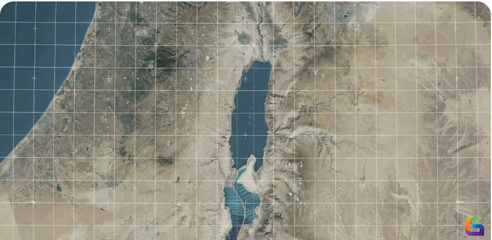
Ortho imagery, also known as orthophotos or orthorectified images, is a type of aerial or satellite imagery that has been geometrically corrected so that the image appears as if it were taken from a vertical perspective. This means that the image has been adjusted to remove any distortions caused by terrain or the angle of the camera or sensor when the image was captured.
The process of orthorectification involves using mathematical models and ground control points to adjust the image so that each pixel in the image corresponds to a specific location on the Earth's surface. This results in an image that can be used for accurate mapping, surveying, and analysis.
Ortho imagery is commonly used in a variety of industries, including agriculture, forestry, urban planning, and environmental monitoring. It is also used by government agencies for land management, disaster response, and infrastructure planning. The high degree of accuracy and detail provided by ortho imagery makes it a valuable tool for many applications where precise location information is required.
Creating an orthophoto can be a complex process, and there are several factors to keep in mind to ensure the accuracy and quality of the final product. Here are a few things to keep in mind while creating an orthophoto:
Image Acquisition:
The first step in creating an orthophoto is to acquire high-quality aerial or satellite imagery. It is essential to ensure that the images have high resolution, are free from distortions, and have a high level of overlap to enable accurate processing.
Ground Control Points (GCPs):
Ground control points are critical for accurate orthorectification. They are physical features on the ground that can be identified in both the imagery and the real world. GCPs can be natural features such as roads, buildings, or intersections, or they can be artificial targets such as survey markers or painted targets.
Georeferencing:
Georeferencing involves aligning the imagery to a specific coordinate system. This is essential for ensuring that the orthophoto is accurately aligned with other geospatial data and can be used for analysis and mapping.
Terrain Correction:
Terrain correction is the process of removing distortions caused by the terrain's slope and elevation. This is achieved by using a digital elevation model (DEM) to adjust the image so that it appears as if it were taken from a vertical perspective.
Quality Control:
Quality control is essential to ensure that the final orthophoto meets the required accuracy standards. This involves checking for errors such as misalignment, distortions, and pixel shifting, and correcting them as necessary. It is also essential to ensure that the final product is delivered in the required format and meets the client's specifications.
For more information, please feel free to reach us at:
Email: info@geowgs84.com
USA (HQ): (720) 702–4849
India: 98260-76466 - Pradeep Shrivastava
Canada: (519) 590 9999
Mexico: 55 5941 3755
UK & Spain: +44 12358 56710


Comments