What is Topographic Mapping?
- utkalsharma
- Jul 21, 2023
- 3 min read
Updated: May 27, 2024
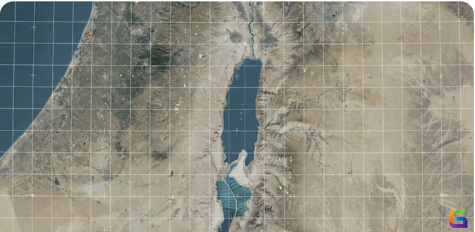
Topographic mapping is a type of cartography that focuses on accurately representing the physical features of the Earth's surface, particularly its elevation and terrain relief. These maps are designed to provide a detailed and accurate portrayal of the natural and artificial features found in a specific geographic area. Topographic maps are widely used for a variety of purposes, including outdoor activities, land navigation, environmental studies, engineering projects, and geological surveys.
Key features of topographic maps include:
Contour Lines: Contour lines are one of the most prominent features of a topographic map. They are lines that connect points of equal elevation, illustrating the shape of the terrain and indicating changes in elevation. Contour lines are typically labeled with their elevation values.
Elevation Points: Specific points of interest with their precise elevations marked on the map are known as spot elevations. These elevations are critical for determining the height of specific features like mountain peaks or hilltops.
Relief Representation: Topographic maps use shading, hachures, or color gradients to depict the three-dimensional relief of the landscape. These techniques help visualize mountains, valleys, cliffs, and other terrain features.
Vegetation and Water Features: Topographic maps often include information about vegetation types, forests, bodies of water (rivers, lakes, etc.), and wetland areas.
Man-made Features: Roads, trails, buildings, bridges, and other human-made structures are commonly depicted on topographic maps.
Scale and Legend: Topographic maps include a scale bar to help users measure distances on the map accurately. They also have a legend that explains the symbols and colors used in the map.
Topographic maps are typically produced by mapping companies or survey organizations and are available in a variety of scales, ranging from large-scale detailed maps for small areas to smaller-scale maps covering larger regions. They are an essential tool for outdoor enthusiasts, hikers, mountaineers, geologists, civil engineers, and anyone involved in studying or navigating the natural landscape.
Uses of Topographic Mapping
Topographic maps have a wide range of uses across various fields due to their ability to provide detailed information about the Earth's surface. Some of the common uses of topographic maps include:
Outdoor Activities: Hiking, camping, and backpacking enthusiasts use topographic maps to plan routes, navigate through unfamiliar terrain, and identify landmarks and potential hazards.
Surveying and Engineering: Civil engineers, architects, and surveyors use topographic maps to plan and design infrastructure projects like roads, bridges, buildings, and utility networks.
Environmental Studies: Environmental researchers and conservationists use topographic maps to study landforms, ecosystems, and potential environmental impacts.
Geology and Earth Sciences: Geologists and earth scientists use topographic maps to analyze rock formations, identify geological features, and study the earth's surface and subsurface.
Land Use and Urban Planning: Urban planners and policymakers use topographic maps to assess land suitability, plan urban development, and manage natural resources.
Emergency Management: During emergencies, such as natural disasters or search-and-rescue operations, topographic maps help responders navigate and coordinate their efforts.
Forestry and Agriculture: Foresters and farmers use topographic maps to plan logging operations, manage forest resources, and analyze agricultural land.
Recreational Activities: Topographic maps are used for activities like mountain biking, horseback riding, fishing, and skiing.
Educational Purposes: Topographic maps are valuable tools for teaching geography, cartography, and earth sciences in educational settings.
Military and Defense: Military personnel use topographic maps for strategic planning, troop movements, and reconnaissance.
Navigation and GPS: Topographic maps are often used in combination with GPS devices for precise navigation in remote or challenging terrains.
Wilderness Search and Rescue: Search and rescue teams use topographic maps to coordinate efforts and locate missing persons in remote areas.
For more information about our topographic mapping services, please feel free to reach us at:
Email: info@geowgs84.com
USA (HQ): (720) 702–4849
India: 98260-76466 - Pradeep Shrivastava
Canada: (519) 590 9999
Mexico: 55 5941 3755
UK & Spain: +44 12358 56710


Comments