Top Commercial Satellite Imagery Providers
- utkalsharma
- Jun 26, 2024
- 2 min read
Updated: Jun 28, 2024
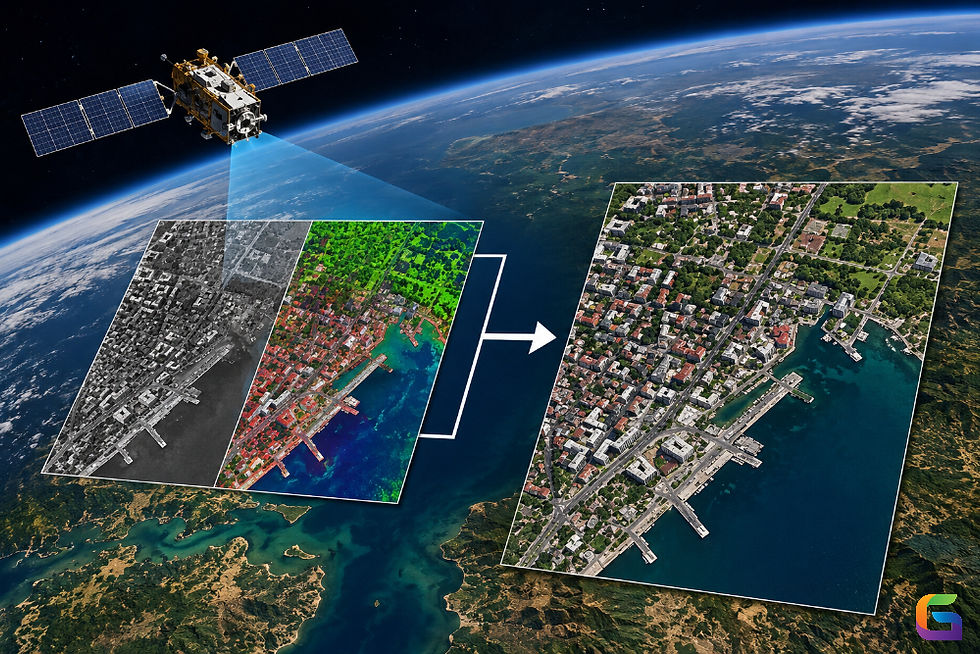
Satellite imagery has become a thriving industry crucial in the modern remote sensing world. Companies in this sector offer advanced imaging services, leveraging cutting-edge satellite technology to capture satellite imagery of Earth, track weather patterns, monitor urban growth, and observe environmental changes. They provide high-resolution images, valuable data analysis, and geospatial insights to a range of consumers including international organizations, governments, and research institutions.
The industry is poised for substantial innovation, driven by the increasing use of AI and machine learning algorithms. These advancements seek to provide higher resolution and more accurate information for climate research, disaster management, defense planning, and urban development. The industry's capability to offer such comprehensive and insightful data has made it an indispensable tool in today's digital landscape.
Here is what I believe is the ranking for the top 5 commercial satellite imagery providers:

Maxar is a leading provider known for its high-resolution imagery and geospatial solutions. It operates the WorldView and GeoEye series of satellites. In May 2024, Maxar launched 2 new 30cm WorldView Legion satellites and plans to launch another 4 more satellites, by the end of the year.
Key Satellites: WorldView Legion, WorldView constellation, GeoEye-1.
Resolution: Up to 30 cm for panchromatic imagery.

21AT is a Singapore-based company that provides high-resolution satellite imagery and geospatial services. They operate the Beijing-3A, Beijing-3N, and TripleSat constellations.
Key Satellites: TripleSat constellation, Beijing-3A, Beijing-3N
Resolution: Up to 30 cm for panchromatic imagery (Beijing-3N)

Airbus provides high-resolution satellite imagery through its Pléiades Neo constellation, SPOT, and TerraSAR-X satellites. They offer both optical and radar imagery.
Key Satellites: Pléiades Neo, Pléiades-1A, Pléiades-1B, SPOT 6, SPOT 7, and TerraSAR-X
Resolution: Up to 30 cm for optical imagery (Pléiades Neo).

Planet Labs operates a large fleet of small satellites, known as Doves, which provide high-frequency, medium-resolution imagery. They also operate higher-resolution SkySat satellites. Last year, Planet launched a 30cm satellite called Pelican and they plan to build a constellation of these satellites like their other satellites.
Key Satellites: Dove, SkySat, Pelican
Resolution: Up to 50 cm for SkySat imagery and 30 cm for Pelican

Satellogic is an Argentine company that provides high-resolution satellite imagery with a focus on frequent revisits and wide coverage. They operate a growing constellation of small satellites.
Key Satellites: Aleph-1 constellation.
Resolution: Up to 70 cm for multispectral imagery.
The companies provide different types of imaging services for different purposes, including tracking the environment, planning cities, farming, responding to emergencies, and protecting countries. Maxar and 21AT excel in high-resolution images, while Planet Labs offers frequent updates and Satellogic provides affordable options.
For more information about our satellite imagery offerings, please feel free to reach us at:
Email: info@geowgs84.com
USA (HQ): (720) 702–4849
India: 98260-76466 - Pradeep Srivastav
Canada: (519) 590 9999
Mexico: 55 5941 3755
UK & Spain: +44 12358 56710
Happy satellite browsing! 🛰️🌍


The large small satellite fleet, called Doves, is very interesting!
hm