What is the difference between SAR and InSAR?
- Anvita Shrivastava

- Jan 30
- 4 min read
Updated: Apr 12
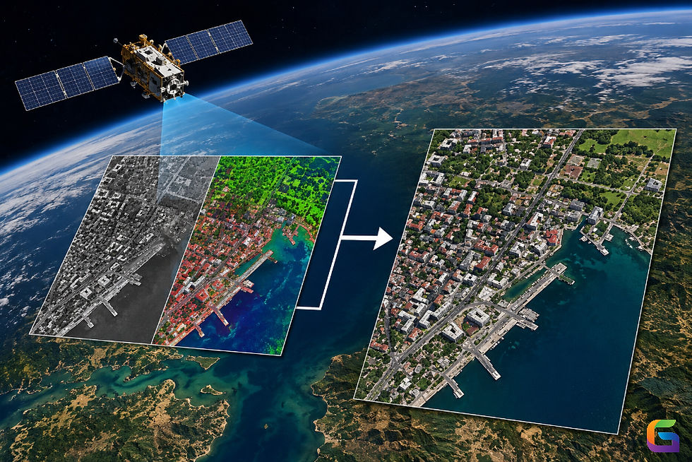
In geodesy, earth observation, and geospatial analysis, synthetic aperture radar (SAR) and interferometric synthetic aperture radar (InSAR) are both powerful remote sensing technologies. Both use RADAR signals and are based either on an aircraft or a satellite, but there are key differences between them in terms of objective, data processing and application.
This article explains the differences between SAR and InSAR, how these technologies work, and when each should be used. It serves as a practical reference for GIS professionals, researchers, and Earth scientists.

What Is SAR (Synthetic Aperture Radar)?
SAR (Synthetic Aperture Radar) is/has a remote sensing system that uses active microwave radar signals to visualize the Earth’s surface.
Conversely to optical sensors, SAR Systems transmit their own energy and record backscattered signals; therefore, SAR operates regardless of time of day, as well as different weather conditions such as cloudy skies, rain, and snow!
How SAR Works
SAR Sensors (on satellite or aircraft):
Emit microwave pulses towards the Earth.
Record the reflected signals from the Earth’s surface.
Use the platform’s motion to create an artificial antenna (synthetic aperture)
Create high-quality radar images.
Key Features of SAR
Has an active sensing technology
Can work in all weather, at any time of day or night
Is sensitive to surface conditions such as roughness, moisture content, and whether there are structures on the surface
Produce images of the varying levels of radar intensity (grayscale).
Common Uses of SAR
Land use & land cover mapping
Flood & disaster monitoring
Forest areas – biomass estimates and the structure of trees
Ocean surfaces – oil spill detection
Military reconnaissance/surveillance
What Is InSAR (Interferometric Synthetic Aperture Radar)?
Interferometric Synthetic Aperture Radar (InSAR) is an innovative method of measuring ground movement and elevation changes by combining information from at least two different Synthetic Aperture Radar (SAR) images of the same area taken at different times or angles.
In contrast to SAR imaging that relies on the radar intensity to determine ground properties, InSAR is able to derive ground properties from comparing the change in phase between two SAR radars that are measuring the same piece of ground.
How InSAR Is Performed
Two SAR images of the same ground are acquired at two different times.
The change in the two radar images is the difference in the phase from the two SAR radars, called the interferogram.
By calculating the phase difference of the two SAR radars, the change in either the displacement of the ground or the change in the topographic height of the ground is determined with millimeter accuracy/ precision.
InSAR Characteristics
Requires at least two SAR image acquisitions
Can measure both ground deformation and ground elevation
Can achieve high vertical accuracy (millimetric to centimetric)
Can be influenced by atmospheric effects or temporal decorrelation
InSAR Applications
Earthquake deformation studies
Volcanic monitoring
Land subsidence or uplift detection
Glacier or ice sheet movement
Infrastructure stability (bridges, dams, buildings)
Key Differences Between SAR and InSAR
Feature | SAR | InSAR |
Full Name | Synthetic Aperture Radar | Interferometric Synthetic Aperture Radar |
Data Requirement | Single radar image | Two or more SAR images |
Primary Output | Radar intensity image | Interferogram and deformation map |
Main Purpose | Imaging and surface characterization | Measuring elevation and surface displacement |
Accuracy | Meter-level spatial resolution | Millimeter-level vertical accuracy |
Processing Complexity | Moderate | High |
Sensitivity | Surface roughness, moisture | Phase stability, atmospheric effects |
SAR vs InSAR: When to Use Which?
Use SAR for:
Obtaining maps of large regions
Tracking flooding and vegetation
Operating in cloudy or dark situations
Examining surface texture and backscatter characteristics
Use InSAR for:
Calculating changes in land or construction sizes
Tracking seismic or volcanic movement
Discovering dry land sinking slowly
Determining if land structures remain stable over time
In the real world, InSAR is created from SAR data, indicating that SAR provides the basis for InSAR's special analysis methods.
Advantages and Limitations
SAR Benefits
Imaging That Works Regardless of Weather
Resolution is Very Fine
Coverage of a Large Area
Can Be Used for Ongoing Monitoring with Assurance
SAR Limitations
Images Have Speckle Noise Problems
Image Interpretation by Specialist Individuals Will Be Required
Limited Elevation/ Displacement Info Provided Directly
InSAR Advantages
Deformation Measurement Has Very High Accuracy
Geohazards Can Be Monitored Effectively Using InSAR
Larger Areas Can Be Monitored with Greater Accuracy than Ground-Based Sensors
InSAR Limitations
Stable Surface Conditions Required to Produce Accurate Results
Atmospheric Disturbances Can Affect Output Reliability
Complex Processing Required to Generate Therequired Outputs from InSAR Data
In Shrub/Trees Cover Areas With Vegetation Overhead, Results May Become Unreliable Due to Decorrelated Conditions between the Sensor and Ground.
Role of SAR and InSAR in Modern Geodesy
The use of Synthetic Aperture Radar (SAR) and Interferometric Synthetic Aperture Radar (InSAR) is critical in the field of geodesy & geospatial science and supports the following functions:
Monitoring changes on the Earth's surface or studying the workings of the planet and the environment
Assisting Global Navigational Satellite Systems (GNSS) and leveling data
Creating new Digital Elevation Models (DEMs)
Aiding in improving Disaster Risk Management
These systems allow for the accurate, global, and consistent measurement of data, thus fulfilling the mission of GeoWGS84.com when used with coordinate reference systems such as the World Geodetic System 1984 (WGS84).
While there are some similarities between the two technologies, there are fundamental differences that distinguish the two methods in their application and processing methods.
Specific to the application, the primary objective of SAR is to capture images of the Earth's surface, while the primary objective of InSAR is to extend the use and capabilities of SAR for measuring ground deformation and elevation change with a high level of accuracy.
Geospatial professionals can use this knowledge to select the most appropriate technologies for mapping, monitoring, and conducting research in Earth sciences.
For more information or any questions regarding the SAR and InSAR, please don't hesitate to contact us at
Email: info@geowgs84.com
USA (HQ): (720) 702–4849
India: 98260-76466 - Pradeep Shrivastava
Canada: (519) 590 9999
Mexico: 55 5941 3755
UK & Spain: +44 12358 56710


Comments