Navigating the Google World: The Ultimate Guide to Using Google Earth
- Anvita Shrivastava

- Aug 4, 2025
- 3 min read
Google Earth allows you to explore the Earth from the comfort of your screen and is more than simply a digital globe. Google Earth provides tools to visualize, study, and engage with our planet in a way that has never been possible before, regardless of your background—student, traveller, environmentalist, or just an inquisitive mind.
Everything you need to know to become an expert in Google Earth in 2025 will be covered in this comprehensive book, including features, insider tips, and useful applications.
What Is Google Earth?
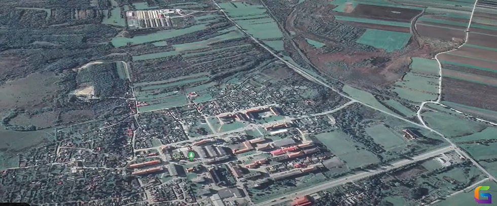
Google Earth is a three-dimensional interactive map of the Earth that uses geographic data, aerial photography, and satellite photos. It allows users to:
Zoom in on any place on Earth.
View street-level imagery, buildings, and terrain.
Examine historical photos and changes over time.
For analysis, include personalized maps and layers.
Use in research, tourism, planning, and education.

It is accessible as a desktop application (Google Earth Pro), mobile app, and web app, and it is useful for both novice and expert users.
Getting Started: Google Earth Versions
Google Earth Web (Browser-Based)
Quick and easy to use
Go to earth.google.com to access
Installation is not required.
Contains simple search tools and Voyager stories.
Google Earth Mobile (Android & iOS)
Use touch to navigate.
Integrated location services
You may share opinions straight from your phone.
Google Earth Pro (Desktop)
Strong, feature-rich, and free
Bring in GIS information (KML, KMZ, SHP)
Calculate areas and distances.
Exporting high-resolution images
Beneficial for educators, planners, and researchers
Key Features You Should Know
Voyager: Interactive Guided Tours
Discover carefully chosen travelogues from organizations, scientists, and storytellers. Among the subjects are:
Changes in climate
Cultural legacy
Exploration of the ocean
Historical Imagery
Observe how locations have changed over time. Excellent for researching deforestation, urbanization, and other topics.
Measuring Tools
Calculate the separation between two points.
Determine the area of a lake, park, or property.
Beneficial for land planning or environmental analysis
Placemaking and Map Creation
Include personalized pathways and markers.
Produce KML/KMZ files that are interactive.
Give people access to project layers or tours.
3D Terrain & Street View
See valleys, buildings, and mountains in three dimensions.
Go to Street View to do some walking exploration.
Advanced Features in Google Earth Pro
Bring in GPS data and shapefiles.
Include layers containing data on land use or population.
Record guided tours and narrate them.
For presentations, use high-resolution screenshots.
Data export for GIS applications
What’s New in Google Earth (2025)?
Google Earth integrates more effectively than ever in 2025 with:
Gemini AI: Use natural language cues to find locations
Google Earth Engine: For analysing satellite and climate data
View planetary change from 1984 to the present with 3D timelapse updates.
Satellite imagery in real time (selected regions)
Google Earth is more than simply a map; it's a tool for research, learning, and understanding. The options are endless, whether you're mapping a rainforest, zooming in on your childhood home, or creating a global research project.
So next time you wonder what lies beyond the horizon, just open Google Earth.
For more information or any questions regarding Google Earth, please don't hesitate to contact us at
Email: info@geowgs84.com
USA (HQ): (720) 702–4849
India: 98260-76466 - Pradeep Shrivastava
Canada: (519) 590 9999
Mexico: 55 5941 3755
UK & Spain: +44 12358 56710


Comments