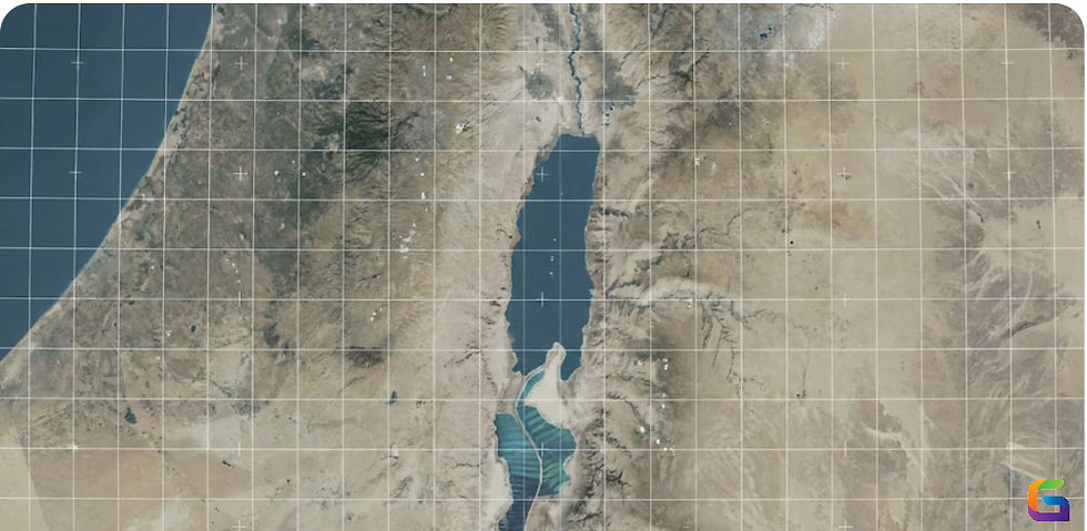
Understanding the true power of XYZ.
- Anvita Shrivastava

- Apr 30, 2025
- 2 min read
In the realm of mapping and spatial data, XYZ is not just a combination of letters; it serves as the foundation for how we comprehend and navigate space. Widely recognized as the planar coordinate system, XYZ coordinates are essential for everything from digital maps to advanced geospatial analysis. Whether you are a GIS professional, a web developer creating maps, or simply interested in how online maps function, grasping the significance of the XYZ coordinate system is crucial.
What is the XYZ Coordinate System?
The XYZ coordinate system is a planar (Cartesian) coordinate system that represents spatial data using three values:
X = Horizontal position (longitude or easting)
Y = Vertical position (latitude or northing)
Z = Elevation or height (optional in some systems)
In most mapping applications, especially web mapping platforms like Google Maps, Leaflet, or Mapbox, the X and Y coordinates are used to place geographic features on a flat, 2D map. The Z value is sometimes used for elevation or zoom levels, depending on the context.

Why is XYZ So Powerful?
Here’s where the true power of XYZ lies:
1. Simplicity and Precision
The XYZ system simplifies how we handle geographic data. Using numbers to represent positions enables easy storage, transfer, and rendering of geospatial information. It eliminates ambiguity and makes coordinates universally understandable by machines.
2. Web Mapping Compatibility
Most modern web mapping tools are built around XYZ tiles—a method that slices the map into small square tiles identified by X, Y, and Z coordinates. This makes loading maps faster and more efficient, especially on different zoom levels.
3. Scalability
The XYZ system allows maps to be rendered at multiple zoom levels (thanks to the Z component). This tiling system is essential for responsive, scalable, and high-performance maps, especially in applications like real-time tracking, location-based services, and spatial analysis.
4. Interoperability
Whether you're working with OpenStreetMap, Google Maps, ArcGIS, or QGIS, the XYZ system provides a common framework that ensures consistency across platforms. This makes data integration and visualization seamless.
5. Data Visualization
With XYZ, it’s easy to overlay data like heatmaps, markers, or shapes. By anchoring data to precise X and Y positions, developers and analysts can turn raw data into actionable insights on a map.
Real-World Applications of XYZ
Navigation Systems: GPS uses XYZ-based models to calculate positions on Earth.
GIS Software: Most geospatial tools use XYZ coordinates to process and analyse spatial data.
Web Maps: Platforms like Mapbox and Google Maps use XYZ tiles to load maps efficiently.
Drones & Surveying: Elevation data (Z-values) enhance 3D mapping and terrain modelling.
The XYZ coordinate system is the invisible engine behind today’s most powerful mapping tools. By understanding its structure and utility, you can unlock more advanced uses of geospatial data—whether you're designing apps, analysing maps, or planning real-world projects.
If you're working in GIS, web development, or spatial data analysis, mastering XYZ is a must. It’s not just a coordinate system—it’s a gateway to a more precise and interactive understanding of the world.
If you want to learn more about our geospatial data offering, please feel free to contact us.
Email: info@geowgs84.com
USA (HQ): (720) 702–4849
India: 98260-76466 - Pradeep Shrivastava
Canada: (519) 590 9999
Mexico: 55 5941 3755
UK & Spain: +44 12358 56710


Comments