Enhancing LiDAR Accuracy Using Satellite Imagery for 3D Mapping
- Anvita Shrivastava

- Nov 19, 2025
- 3 min read
In recent years, the field of three-dimensional (3D) mapping has emerged as a central system of technology for urban planning, environmental monitoring, autonomous navigation, and disaster management. LiDAR (Light Detection and Ranging) promises to obtain high-precision 3D mapping, based on capturing topographical characteristics using laser pulses. However, there are a few limitations with LiDAR data. Generally, the effectiveness of LiDAR data for developing reliable 3D models can be limited by:
Occlusion, primarily in dense areas, where trees, buildings, or other structures can obscure the laser pulses, causing an absence of data within the LiDAR datasets.
Reduced reliability when in extreme terrains, such as on steep slopes, water bodies, and/or areas that are shadowed.
Cost of operation, primarily associated with aerial LiDAR (over large areas), which is costly to deploy.
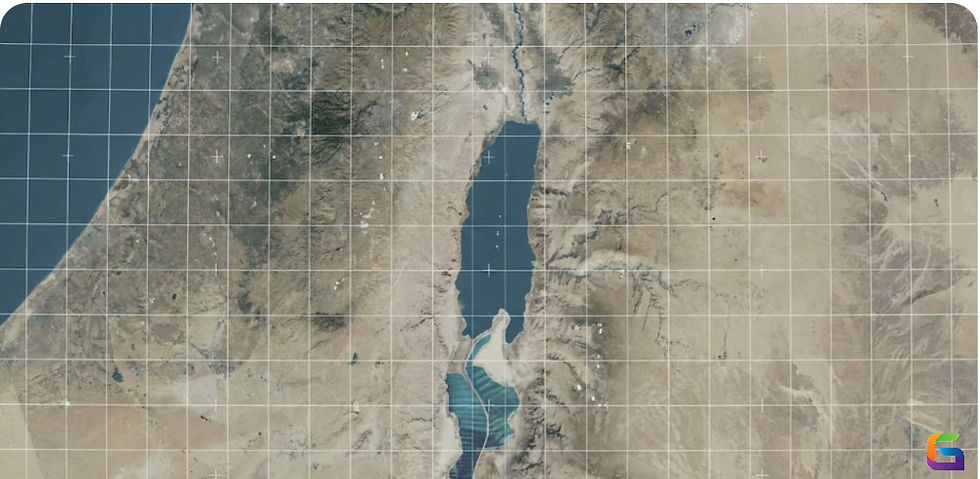
Adding satellite imagery into the mix replaces the LiDAR data with much higher levels of reliability and accuracy. Subsequently, by integrating satellite imagery with LiDAR point clouds, researchers and engineers can effectively improve mapping accuracy, while also making up for the lack of data collected by LiDAR-based survey and data collection.
To address these limitations, satellite imagery can be used as a supplementary data source, providing visual context and further spatial attributes that improve the accuracy of the 3D models.

Benefits of Integrating Satellite Imagery
In conjunction with LiDAR data, satellite imagery similarly enhances mapping in three distinct ways:
Filling in Data Gaps
High-resolution satellite images can help locate areas where LiDAR returns are sparse or completely missing. Utilizing image processing techniques, these gaps can be filled in to develop a more complete 3D surface model.
Enhancing Feature Identification
Satellite imagery provides color and texture information that LiDAR doesn't capture. This information supports land cover classification for vegetation, buildings, roads, and water bodies, and provides opportunities for more accurate semantic mapping.
Improving Elevation Accuracy
The use of stereoscopic satellite images allows elevation data to be compared to LiDAR point clouds. This increases the validation of data from two sources, thus decreasing the vertical error and enhancing terrain modeling accuracy.
Efficiency in Costs and Time
Utilizing satellite imagery reduces the dependency on performing multiple LiDAR flights over large or inaccessible regions, which not only reduces costs but also accelerates the data-gathering process.
Methods to Integrate LiDAR and Satellite Imagery
There are several effective ways to integrate LiDAR and satellite data, including:
Registering data: The process of registering LiDAR point clouds to a georeferenced satellite image to achieve spatial accuracy.
Utilizing machine learning algorithms: AI models can enhance 3D reconstruction by automatically identifying and classifying features across both datasets.
Refinement of DEM: LiDAR and elevation data can be combined with satellite data to produce high levels of accuracy when developing DEMs.
Enhanced 3D Mapping Applications
The combination of LiDAR and satellite imagery has great applicability in several fields, including but not limited to:
Urban planning and smart cities: Improved modeling of buildings and infrastructure for planning and simulation.
Environmental Monitoring: Evaluating terrain and vegetation analyses to track deforestation, assess flood risk and study conservation.
Autonomous navigation: Improved maps for self-driving cars, robotic systems, and drones.
Disaster Management: Precise modeling to predict and mitigate landslides, floods, and wildfires.
The combination of LiDAR with satellite imagery provides a powerful means of overcoming the limitations of traditional 3D mapping. By filling in gaps, enhancing features, and refining the accuracy of elevation modeling, this technology enables precise and highly detailed 3D mapping. With improvements in satellite imagery resolution, the future is appealing for accurate mapping, which paves the way for smarter cities, safer environments, and decision-making facilitation.
For more information or any questions regarding the satellite imagery, please don't hesitate to contact us at
Email: info@geowgs84.com
USA (HQ): (720) 702–4849
India: 98260-76466 - Pradeep Shrivastava
Canada: (519) 590 9999
Mexico: 55 5941 3755
UK & Spain: +44 12358 56710


Comments