What is the National Geospatial-Intelligence Agency?
- Howard Krinitzsky

- Jul 31, 2025
- 2 min read
Geospatial intelligence is essential to navigation, disaster response, national security, and strategic decision-making in today's data-driven world. The National Geospatial-Intelligence Agency (NGA), a vital component of the US defence and intelligence apparatus, is at the centre of this potent capacity.

Introduction to the NGA
In order to enhance national security, the National Geospatial-Intelligence Agency (NGA), a branch of the US government, is in charge of gathering, evaluating, and disseminating geospatial intelligence (GEOINT). Part of the U.S. Intelligence Community, the NGA is a Department of Defence agency with its headquarters located in Springfield, Virginia.
To better reflect its growing mission in the digital age, the National Imagery and Mapping Agency (NIMA), which was founded in 1996, changed its name to the NGA in 2003.
What is Geospatial Intelligence (GEOINT)?
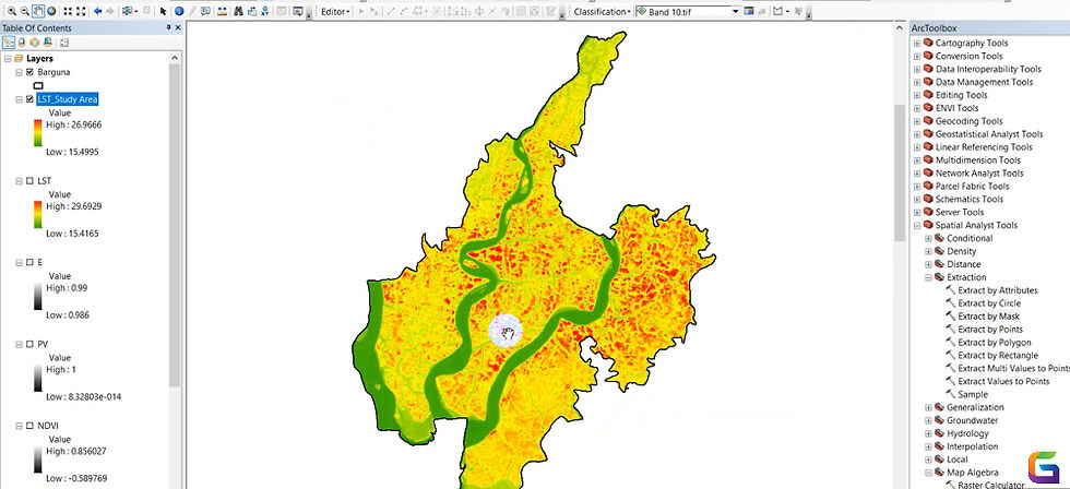
Analysing and visualising data related to geographic places is known as geospatial intelligence. To generate actionable intelligence, it combines GPS data, maps, satellite imagery, and topography data. GEOINT is necessary because
Military activities
Counterterrorism initiatives
Security at the border
Missions of humanitarian assistance
Relief from disasters
For policymakers, warfighters, first responders, and allies, the NGA is the main source of GEOINT.
Key Functions of the NGA
Satellite Imagery Analysis
To keep an eye on events worldwide, the NGA analyses and deciphers satellite and aerial imagery. This entails real-time military task assistance, movement tracking, and threat detection.
Mapping and Navigation
For the benefit of the US military and intelligence services, NGA creates incredibly precise maps, charts, and geospatial data. For tactical operations to be planned and carried out, these resources are essential.
Maritime and Aeronautical Safety
With the use of comprehensive hydrographic and aeronautical charts, the agency promotes navigation safety for both air and sea operations.
Disaster Response
The NGA gives FEMA, local governments, and rescue teams vital geospatial support during natural disasters like hurricanes, earthquakes, or wildfires.
Counterterrorism and National Security
The NGA facilitates intelligence collection and threat assessments about cyber threats, terrorism, and strategic military operations by utilising geospatial technology and advanced analytics.
Technology and Innovation at the NGA
The NGA is at the forefront of implementing innovative technologies such as:
Automated image recognition using machine learning (ML) and artificial intelligence (AI)
Big Data Analytics in Geospatial
3D Modelling and Mapping
Geospatial platforms that are cloud-based
Open-source GEOINT collaborations (such as the NGA Open programs and GEOINT Services)
Who Uses NGA Products?
Among the many users that the NGA serves are:
American Military Forces
Intelligence organisations (CIA, NSA, etc.)
FEMA and Homeland Security
Government representatives and policymakers
Foreign nations that are allies
Contractors and business partners
More than just a mapmaker, the National Geospatial-Intelligence Agency plays a crucial role in disaster response, defence planning, and worldwide intelligence. The NGA guides missions, protects lives, and informs national policy with the use of advanced technology and strategic intelligence.
The NGA continues to play a crucial role in creating a society that is safe, knowledgeable, and responsive as geospatial data volume and complexity increase.
For more information or any questions regarding geospatial intelligence, please don't hesitate to contact us at
Email: info@geowgs84.com
USA (HQ): (720) 702–4849
India: 98260-76466 - Pradeep Shrivastava
Canada: (519) 590 9999
Mexico: 55 5941 3755
UK & Spain: +44 12358 56710

Comments