top of page
GeoWGS84 Corp Acquires LizardTech Suite of Products, Including GeoExpress and the MrSID Format. Click here for details
Search


Top 10 Photogrammetry Service Providers in 2025
Photogrammetry has emerged as a fundamental technology for acquiring geospatial data , mapping, surveying, and creating 3D models. As...

Anvita Shrivastava
Sep 12, 20253 min read


Infrared Satellite Imagery: Thermal Insights from Space
The method of satellite remote sensing has revolutionized how scientists, researchers, and industries monitor and study Earth. Among the...

Anvita Shrivastava
Sep 11, 20254 min read


QuickBird Satellite: High-Resolution Earth Observation Explained
The use of high-resolution satellite photography has revolutionized the way we map, research, and keep an eye on our globe. Among the...

Anvita Shrivastava
Sep 9, 20252 min read


Discover the Best Aerial Imaging Companies 2025
This is a thorough, global list of top aerial data-collection firms that use manned aircraft for surveying and mapping. These companies provide high-resolution geospatial data at regional, national, and continental scales and specialize in cutting-edge services like photogrammetry , oblique and vertical photography, and airborne LiDAR acquisition. The list is arranged geographically to make it clear—global, regional, and country-specific providers—and features businesses tha

Anvita Shrivastava
Sep 5, 20252 min read


What is SAR Imagery? A Complete Guide to Synthetic Aperture Radar
One of the most potent instruments for Earth observation in the fields of remote sensing and geospatial intelligence is Synthetic...

Anvita Shrivastava
Sep 3, 20253 min read


Wildfire Satellite Imagery for Real-Time Fire Tracking
One of the most damaging natural disasters, wildfires endanger human communities, ecosystems, and air quality worldwide. Accessibility,...

Anvita Shrivastava
Sep 2, 20253 min read


Understanding UTM Zones: A Complete Guide for GIS Professionals
A strong coordinate reference system (CRS) is necessary for accurate geospatial analysis. Despite their widespread use,...

Anvita Shrivastava
Sep 1, 20253 min read


High-Resolution Satellite Maps in Remote Sensing
Because they provide comprehensive information on the Earth's surface for scientific study, urban planning, agriculture, military, and...

Anvita Shrivastava
Aug 29, 20252 min read


Exploring Remote Sensing by Satellite for GIS
Satellite-based remote sensing has emerged as one of the most potent technologies for Geographic Information Systems (GIS) , facilitating...

Anvita Shrivastava
Aug 27, 20253 min read


Digital Elevation Model: Everything You Need to Know
Accurate elevation data is crucial for mapping, research, and decision-making in a variety of businesses in today's geospatial...

Anvita Shrivastava
Aug 26, 20253 min read


Stockpile Volume Measurement with Drones: A Complete Guide
Accurate stockpile volume measurement is crucial for project planning, cost control, and inventory management in various sectors,...

Anvita Shrivastava
Aug 22, 20253 min read


Pixxel: World’s Highest-Resolution Hyperspectral Satellites Launched
Pixxel, a space technology company based in Bengaluru (India), launched the world's highest-resolution commercial hyperspectral...

Anvita Shrivastava
Aug 21, 20252 min read


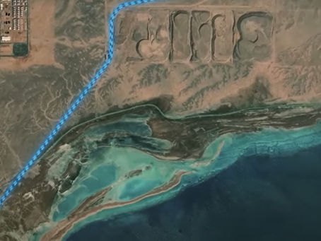
"The Line" in Saudi Arabia – Progress via Satellite Imagery (as of 2025)
One of the most talked-about future urban projects in the world is Saudi Arabia's ambitious megacity project, The Line. The Line is a 170...

Anvita Shrivastava
Aug 21, 20253 min read


What is Considered a High-Resolution Image?
Imagery is essential to precise mapping, geographical analysis, and decision-making in Geographic Information Systems (GIS) . The degree...

Anvita Shrivastava
Aug 21, 20252 min read


Geospatial Data: From Gigabytes to Petabytes
Geospatial data is no longer a specialised resource limited to researchers or cartographers in the modern world. Geospatial data has...

Anvita Shrivastava
Aug 20, 20253 min read


GIS Cloud: SaaS Platform for Real-Time Geospatial Data
Real-time geospatial data is enabling more intelligent decision-making across sectors in the age of digital transformation....

Anvita Shrivastava
Aug 19, 20253 min read


What Is Land Use Mapping? A Complete Beginner’s Guide
A key component of spatial planning and geographic information systems (GIS) is land use mapping. Understanding land use mapping is...

Anvita Shrivastava
Aug 19, 20253 min read


Top 10 Free GIS Software for Mapping in 2025
Geospatial analysis remains a vibrant area in 2025, and free GIS software is becoming increasingly powerful. This list of the best tools,...

Anvita Shrivastava
Aug 12, 20253 min read


Monochromatic vs Multispectral vs Hyperspectral Imagery
Spectral photography is essential for obtaining useful data from satellites and aerial vehicles in the quickly developing domains of...

Anvita Shrivastava
Aug 7, 20252 min read


NASA Worldview: Real-time Live Satellite Imagery Access
In an era where climate monitoring, disaster relief, environmental research, and geospatial analysis all rely on data-driven...

Anvita Shrivastava
Aug 7, 20253 min read
GeoWGS84 Blog
bottom of page
