Photogrammetry vs LiDAR: Key Differences, Accuracy & Use Cases
- Anvita Shrivastava

- 2 days ago
- 5 min read
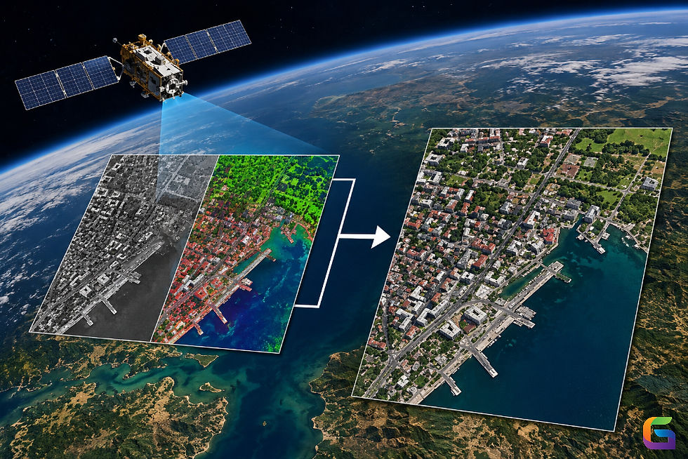
As industries rely more on accurate three-dimensional (3D) spatial information, there are two methods of reality capture dominating the landscape: LiDAR (light detection and ranging) and photogrammetry. Both methods can produce accurate three-dimensional models (3D), digital twin models, topographic maps, and geospatial information, but methods differ significantly in acquisition techniques, level of accuracy, cost, processing workflows, and intended use.
If you work in any of the following fields – surveying, engineering, construction, mining, geographic information systems (GIS), forestry, or managing infrastructure – it is important that you understand the differences between photogrammetry and LiDAR, so you can select the right technology for your needs.

What Is Photogrammetry?
Photogrammetry is a method to take measurements in 3D space at a surface using 2D photos taken from different angles to form an image of the surface from photographic information taken from 100s or 1000s of photos.
By using the latest in computer vision algorithms, photogrammetry software can identify matching points throughout the images to build a complete 3D model, point cloud, orthomosaic, or DEM of the surface.
Photogrammetry Processes typically have the Following Steps:
Image acquisition will be conducted via drones, planes, satellites, or ground-based cameras.
Images will be aligned and features matched with each photograph.
Structure from Motion (SfM) will be used to estimate where the camera was located while taking the photos.
A dense point cloud will be built.
A Mesh and Texture will be built.
An Orthophoto and Terrain Model (DTM or DEM) will be created.
Below Are Common Methods Of Acquiring Photogrammetric Data:
Digital SLR Cameras
Mirrorless Cameras
Manned Aircraft Systems
What Is LiDAR?
Light Detection and Ranging (LiDAR) is a remote sensing technology where laser pulses are emitted to the surrounding area to measure the distance from the sensor. To achieve an accurate three-dimensional coordinate representation of the area, the system emits many thousands, or even millions, of laser pulses per second and calculates the amount of time it takes for the laser pulse to return to the LiDAR sensor.
A LiDAR system is made up of four main components:
Laser Scanner
Global Navigation Satellite System (GNSS) Receiver
Inertial Measurement Unit (IMU)
Data Processing Software
The LiDAR process involves the following steps:
Emission of a laser pulse
Reflection off a surface
Measuring Time-of-Flight
Computing Coordinates
Creating a Point Cloud
LiDAR technology differs from photogrammetry technology since LiDAR measures the distance directly rather than using images to infer geometry.
Some examples of the platforms in which LiDAR systems can be used include:
Drone LiDAR systems
Airborne LiDAR systems
Mobile mapping systems
Terrestrial laser scanners
Autonomous vehicles
Photogrammetry vs LiDAR: Quick Comparison
Feature | Photogrammetry | LiDAR |
Data Source | Photographs | Laser pulses |
Sensor Type | Passive | Active |
Day/Night Operation | Daylight dependent | Works day and night |
Vegetation Penetration | Limited | Excellent |
Surface Color Capture | High-quality textures | Limited |
Accuracy | High | Very high |
Cost | Lower | Higher |
Processing Time | Longer image processing | Faster geometry extraction |
Ground Detection | Challenging in dense vegetation | Excellent |
Equipment Complexity | Moderate | Advanced |
Accuracy Comparison: Photogrammetry vs LiDAR
Photogrammetry Accuracy
Drone photogrammetry can typically deliver the following accuracy levels:
Horizontal 1-3 cm Vertical 2-5 cm Ground-Sampling Distance - Sub-centimeter achievable.
Accuracy is impacted by:
Quality of cameras, altitude of flying, amount of overlap between images, number of Ground Control Points, lighting conditions, and algorithms used for processing.
Photogrammetry's Limitations
Photogrammetry's accuracy decreases when capturing:
Uniform-textured surfaces, reflective-water surfaces, reflective-material surfaces, dense-vegetation areas, and low-texture areas without any identifiable surface features.
LiDAR Accuracy
LiDAR provides common accuracy levels of:
Horizontal 1-5 cm Vertical 1-3 cm Point Density – Typically are achieved at millions of points per second.
LiDAR Accuracy Is Determined By:
Quality of scanner, calibration of Inertial Measurement Unit, quality of GNSS, speed of flight, altitude of scan, and the degree to which scan angle changes.
Benefits of LiDAR for Improved Accuracy
LiDAR excels when:
Mapping dense-vegetation areas, mapping utility corridors, extracting terrain from above, and finding the surface of the earth with respect to the vegetation that was above it.
When attempting to create bare-earth terrain models, LiDAR typically creates more accurate models than photogrammetry.
Best Use Cases for Photogrammetry
Photogrammetry provides an excellent alternative when high levels of visual detail are required.
Construction Progress Monitoring
Using high-resolution imagery allows you to do the following:
Document Sites
Track Progress
Report to Stakeholders
Architecture / Heritage Preservation
Best Suited for:
Historic Building Documentation
Facade Modeling
Digitalization of Cultural Heritage
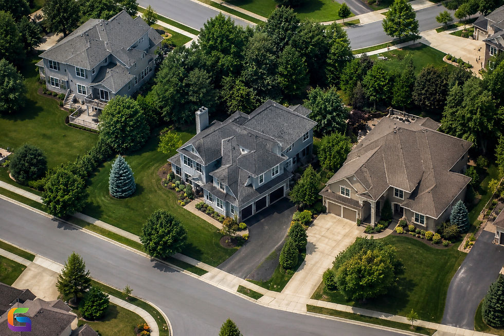
Real Estate Marketing
Creates Realistic:
3D property tours
Digital Twins
Marketing Visualizations
Mining Stockpile Measurement
Provides Accurate Volume Calculation at Low Cost
Agriculture
Supports:
Crop Health Monitoring
Vegetation Analysis
Precision Agriculture Initiatives
Best Use Cases for LiDAR
Opt for LiDAR where geometric precision and viewability of the ground/surface terrain are a priority.
Topographic Mapping
Use LiDAR for highly accurate maps of challenging terrain.
Forest Management
Uses LiDAR for:
Measurement of tree height
Estimation of biomass
Tree canopy analysis
Mapping Utility Corridors
LiDAR used for:
Electric power lines
Pipelines
Transportation systems
Infrastructure Engineering
LiDAR used for:
Roads
Railroads
Bridges
Tunnels
Floodplain and Watershed Modelling
LiDAR is used to provide accurate bare earth surface (topographic) elevation for subsurface hydraulic flow modelling.
Autonomous Vehicle Navigation
LiDAR helps with:
Object detection
Navigation
Updating map data in real-time
Choosing Between Photogrammetry and LiDAR
Ultimately, the decision will come down to your project's objectives.
Use Photogrammetry when:
You're on a tight budget.
Aesthetics are the most important (visual quality).
You have an open and unobstructed site to work with.
You require high-resolution photographic images.
Use LiDAR when:
You need the highest accuracy possible.
Your site has dense vegetation.
You require terrain modeling.
You want to create an infrastructure map.
You want to operate in different lighting conditions.
Use Both When:
Creating Digital Twins
Large Infrastructure Projects
BIM Support
Smart City Planning.
Future Trends in Reality Capture
Improvements in sensor technology are helping close the gap between LiDAR and photogrammetry.
Some emerging technologies driving this change forward include:
Point cloud processing with Artificial Intelligence
Mobile LiDAR utilizing SLAM methodology.
Hybrid sensors mounted on UAVs
3D reconstruction in real-time
Automated extraction of features
Cloud-based analytics for geospatial information
As the costs of these technologies decline and computing power continues to improve, hybrid reality capture solutions are becoming the main method of choice for complex measurement and design projects.
While photogrammetry and LiDAR (Light Detection And Ranging) are both types of capture technology that measure reality, they have different capabilities and applications.
Photogrammetry is generally stronger for creating photo-realistic models and is an affordable way to collect data, while LiDAR has greater geometric accuracy, the ability to penetrate vegetation, and capabilities to map terrain more accurately.
Photogrammetry typically works well for projects where visual representation is important (for example, a presentation), and LiDAR typically works well for projects that require high accuracy (e.g., terrain analysis, mapping infrastructure, and surface models in heavily vegetated areas). More frequently, organizations are combining the two technologies to provide a complete and highly accurate digital twin of a site or structure that can be used across multiple professions (i.e., surveying, construction, GIS, and asset management).
By knowing the strengths and weaknesses of each technology, professionals can make better choices when planning and executing a project and achieve the best possible results, both in terms of profitability and return on investment of geospatial data collection.
For more information or any questions regarding Photogrammetry and LiDAR, please don't hesitate to contact us at
Email: info@geowgs84.com
USA (HQ): (720) 702–4849
India: 98260-76466 - Pradeep Shrivastava
Canada: (519) 590 9999
Mexico: 55 5941 3755
UK & Spain: +44 12358 56710

Comments