What are the three types of geospatial data?
- Anvita Shrivastava

- Jul 15, 2025
- 2 min read
Geospatial data has emerged as a key component of contemporary analytics in the age of smart technology and data-driven choices. Knowing the three main categories of geospatial data is crucial whether you're mapping urban growth, monitoring climate change, or streamlining delivery routes.
The three primary categories of geospatial data—vector, raster, and geotagged/tabular data—as well as examples, applications, and how each kind supports GIS and geospatial analysis, will all be covered in this blog.

Vector Data: The Foundation of Spatial Features
Points, lines, and polygons are used in vector data to depict geographic elements. Discrete feature mapping frequently uses this kind of data since it is quite accurate.
Types of Vector Features:
Points—such as bus stations and fire hydrants—represent specific locations.
Roads, rivers, and pipelines are examples of linear features that are represented by lines.
Areas are represented by polygons, such as city limits, lakes, and land parcels.
Use Cases:
Zoning and urban planning maps
Networks of transportation
Classification of land use
Tools That Use Vector Data:
ArcGIS
PostGIS databases
MapInfo
Raster Data: Capturing the Earth in Pixels
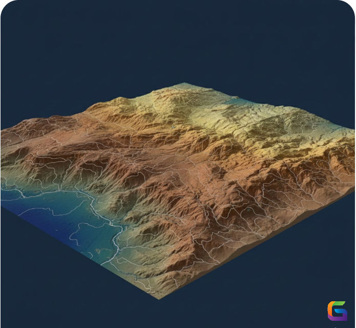
A grid of cells, or pixels, makes up raster data. Each cell has a value that represents information like temperature, elevation, or land cover. For depicting ongoing phenomena, it works well.
Examples of Raster Data:
Satellite imagery (e.g., Landsat, Sentinel)
Digital Elevation Models (DEMs)
Heat maps (e.g., pollution, vegetation density)
Use Cases:
Remote sensing and image classification
Climate modelling and weather forecasting
Terrain and hydrological analysis
Tools That Handle Raster Data:
GDAL
Google Earth Engine
ERDAS IMAGINE
GlobalMapper
Geotagged & Tabular Data: Connecting Attributes to Space
Datasets that have each record associated with a specific geographic location—typically by coordinates, addresses, or administrative boundaries—are referred to as geotagged or tabular data.
Examples:
Social media posts with GPS tags
Sensor readings from IoT devices
CSVs with location fields (latitude/longitude)
Use Cases:
Real-time traffic monitoring
Environmental sensor networks
Public health and epidemiology mapping
Integration Platforms:
Tableau with spatial extensions
Power BI with ArcGIS Maps
Python libraries (Pandas + Geopandas)
Why Understanding Geospatial Data Types Matters
Every kind of geographical data has advantages and disadvantages. Selecting the appropriate data type is essential for:
The precision of the analysis
Optimization of storage and performance
Adaptability to GIS applications
You can get deeper spatial insights and make more informed judgments in fields like agriculture, defence, urban planning, and climate research by becoming proficient with vector, raster, and geotagged/tabular data.
Understanding the three categories of geographical data is the first step to becoming proficient in geospatial analysis, whether you're developing a GIS application, examining satellite imagery, or visualizing geolocation data. When you successfully combine them, the real world becomes your dataset.
For more information or any questions regarding geospatial data, please don't hesitate to contact us at
Email: info@geowgs84.com
USA (HQ): (720) 702–4849
India: 98260-76466 - Pradeep Shrivastava
Canada: (519) 590 9999
Mexico: 55 5941 3755
UK & Spain: +44 12358 56710


Pretty good article!